


The Stories Hidden Beyond Honeymoon Island’s Beaches


Honeymoon Island is usually associated with sandy shores, sunsets, and long walks along the Gulf of Mexico. We have already covered the island’s beaches, which are the stars of every guidebook, separately in the article “Honeymoon Island: One of Tampa Bay's Best Beaches for a Nature Escape,” but Honeymoon Island State Park makes this place much more interesting than simply a popular beach near Dunedin.
The park is home to pine forest, dunes, coastal ecosystems, and habitats for numerous species of birds and wildlife. You can walk along a nature trail, stop by a small nature center, watch birds, learn about the island’s history, and see how much its modern landscape depends on both natural processes and human activity.
An Island That Once Didn’t Exist
Modern-day Honeymoon Island formed relatively recently. Until 1921, Honeymoon Island and neighboring Caladesi Island were part of one large barrier island known as Hog Island. A powerful hurricane that year cut through the island and created a channel known as Hurricane Pass. This is how the two separate islands were formed.
Such changes are not unusual for a barrier island. Sand is constantly moved by waves, wind, storms, and currents, so Honeymoon Island’s shoreline continues to change. According to Florida State Parks, the island itself is approximately 4,800 to 7,000 years old, and its current appearance is the result of not only natural processes but also human intervention.
This is especially noticeable at the park’s northern end. Since 2024, approximately the northernmost mile of the sandy spit has been separated from the main part of the island by a temporary breach. Erosion and sand migration have created a new passage here, and the park specifically warns about strong currents, sudden changes in depth, and hidden underwater hazards. This area should therefore not be considered a safe place to cross through the water.
For visitors, this is a good example of how Honeymoon Island is not a frozen postcard landscape. The island is still being shaped right now.
Where the Name Honeymoon Island Came From
The island’s name has a very specific history, and it began in the late 1930s. Businessman Clinton Washburn purchased the island and, during lunch with a friend who was an editor at Life magazine, suggested that it would be a wonderful place for a honeymoon.
The idea made its way into the pages of the magazine, after which Washburn actually created a resort for newlyweds here. Fifty cottages were built on the island, and on May 8, 1940, the first couples arrived. A total of 164 newlywed couples took part in the project. After World War II began, the resort’s story was interrupted, and the island was used, among other things, as a recreation area for workers at a defense plant.
But the most interesting part of Honeymoon Island’s history came later.
In the 1960s, the island was purchased by a developer who planned to turn approximately 200 acres of the property into a large residential development. The project called for expanding the island to approximately 3,000 acres, building 4,500 residential units, and creating a network of waterfront canals designed for about 16,000 residents.
To make this possible, fill was dredged from the Gulf of Mexico. However, the project did not develop as planned, and in 1969, the dredging permit expired. Thanks to the efforts of local conservationists, it was not renewed. In 1974, the State of Florida purchased the first 113 acres of the island and gradually acquired the rest of the property. On December 7, 1981, Honeymoon Island State Recreation Area was officially established here.
Today, this episode is especially important for understanding why the island’s protected status matters. Part of its modern landscape is not simply the result of nature at work, but also the result of a large-scale development project that ultimately was never completed.
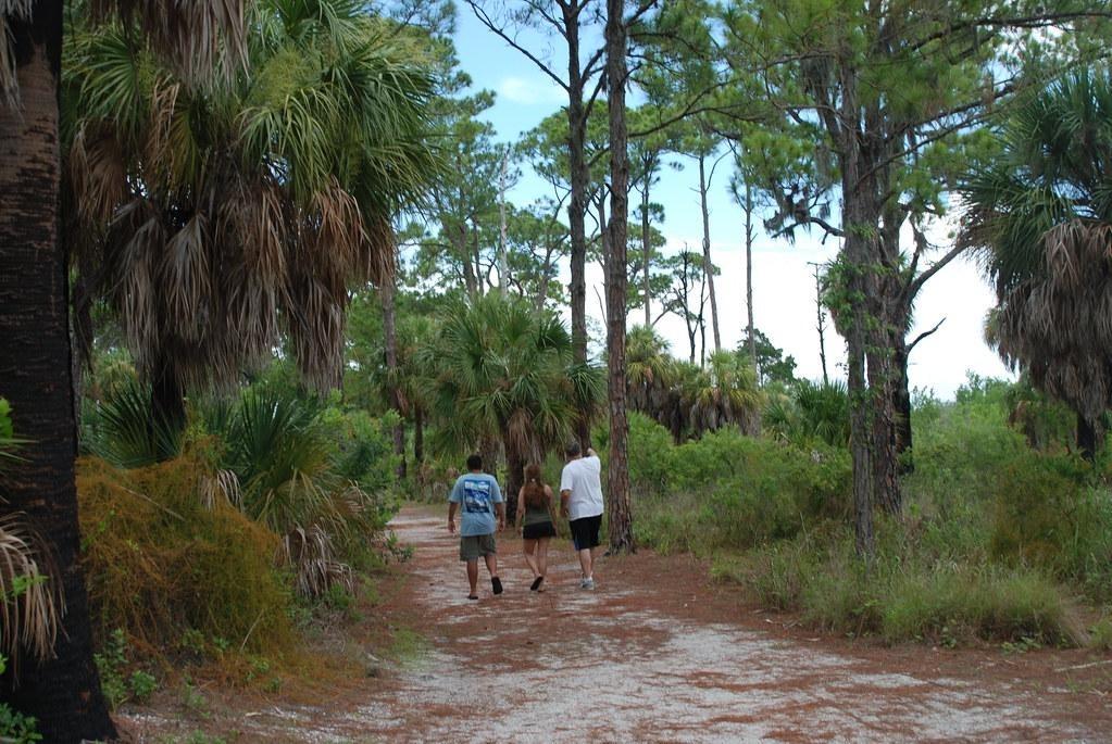
Osprey Trail Leads Away From the Beach
One of the park’s most interesting natural areas is Osprey Trail. The trail passes through pine forest and gives you a chance to find yourself in a landscape that looks nothing like the island’s familiar image of sand and sea.
Here, one of the few remaining areas of old-growth slash pine forest in South Florida has been preserved. Some of the pines are nearly 200 years old. For an island that is constantly changing under the influence of wind and water, these trees are especially interesting: they belong to a much older layer of Honeymoon Island’s natural history.
Today, Osprey Trail is approximately 2.5 miles long. Its name is not accidental, either. Ospreys are regularly seen on the island, while bald eagles and great horned owls can be spotted here year-round. Gopher tortoises, armadillos, and other wildlife also live in the park’s wooded areas.
It is worth walking through the pine forest at least once. Afterward, Honeymoon Island’s sandy shoreline feels more like part of a larger ecosystem than a beach destination.
Dunes That Build Themselves
Honeymoon Island’s dunes are not simply piles of sand between the beach and vegetation. In a sense, they build themselves, and plants play the main role in this process.
One of the most important plants for Florida’s dunes is sea oats. Its long roots hold the sand in place, while the parts of the plant above ground slow down the movement of sand grains carried inland by the wind from the beach. Sand accumulates around the plant, gradually forming small rises. As more vegetation grows on them, the plants trap even more sand, allowing the dune system to gradually grow.
But dunes are not stationary. Wind constantly moves sand, while the plants essentially help control that movement. During strong storms, part of a dune may be washed away or shifted, but the sand stored within it remains an important resource for beach recovery. That is why a storm-damaged dune does not necessarily mean that the ecosystem has been destroyed: nature has created a shoreline designed around cycles of destruction and recovery.
Honeymoon Island is also home to other plants adapted to life with salty air, intense sunlight, strong winds, and almost no fresh water in the upper layers of sand. This is an extreme environment for plants, but they are precisely what help hold the shoreline in place.
Dunes matter for more than just plants. They protect the areas behind them from the energy of waves and storm surge and serve as a natural barrier between the Gulf of Mexico and the interior parts of the island. That is why walking on the dunes is prohibited: even a single trail created by people through the vegetation can form a corridor through which wind begins to carry sand out of the dune.
Honeymoon Island as a Birdwatching Destination
The park has a reputation as a good place for birdwatching, and the reason is not one specific area. A variety of natural environments meet here, from pine forest to beaches, dunes, shallow waters, and nearby estuaries.
Different shorebirds nest and rest on the island, including American oystercatchers, snowy plovers, least terns, and black skimmers. In the water and shallow areas around the park, you may see great blue herons, snowy egrets, roseate spoonbills, and other birds searching for food in coastal waters.
You do not need professional binoculars or a planned hours-long expedition to watch birds. Even an ordinary walk can turn into a small wildlife-watching experience, especially if you slow down and pay attention to your surroundings.
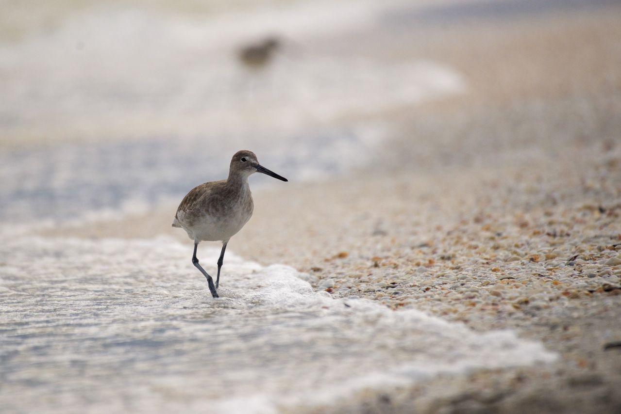
Honeymoon Island is important for more than just birds. Its beaches are also used by sea turtles for nesting. Loggerhead sea turtles and green sea turtles are among the species that lay their eggs on the island.
At the end of September, nesting season is not completely over yet, so on the beach it is important to stay outside fenced-off areas, avoid touching nests, and not leave behind items that could interfere with turtles’ movement.
These rules may seem like a small detail during an ordinary beach day, but at a State Park, they are part of the daily work of protecting the coastal ecosystem. Protecting natural resources here involves more than putting up signs: staff and volunteers also remove invasive plants and use prescribed fires to maintain natural plant communities.
Rotary Centennial Nature Center
To better understand what is around you, it is worth stopping by the Rotary Centennial Nature Center. This small nature education center focuses on the history of Honeymoon and Caladesi Islands, as well as local plants and animals.
The center is open Wednesday through Sunday from 9:00 a.m. to 5:00 p.m. Nearby, there is an observation deck overlooking St. Joseph Sound. At low tide, this is an especially convenient place to watch birds feeding near seagrass beds.
For a first introduction to the park, it can be a useful stop before walking Osprey Trail and a chance to look at the familiar island through the lens of its natural and historical features.
You Can Spend the Day Here Without a Beach Day
Of course, the beach remains an important part of Honeymoon Island State Park. But if you visit specifically as a state park, there are many more possibilities.
In addition to walking Osprey Trail, you can bike, fish, birdwatch, have a picnic, or kayak in Pelican Cove. Kayaks can be rented through the concession or you can bring your own. At the northern end of the island, there is a picnic area with shelters, tables, grills, and restrooms.
There are also special options for visitors with dogs. Pets are allowed on the designated Pet Beach in the southern part of the island and on the nature trail, but they must remain on a handheld leash no longer than six feet.
Honeymoon Island is also the departure point for a trip to neighboring Caladesi Island State Park. That means it can be part of more than just a short beach outing; it can also be included in a full day of exploring the natural areas along the Pinellas County coast.
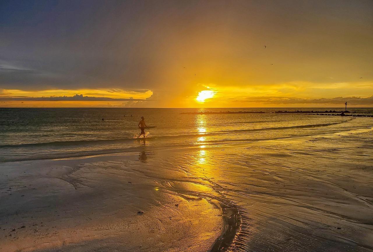
Honeymoon Island’s popularity is easy to explain because of its beaches, but its protected status helps show why this area matters to Tampa Bay. Here, old pine trees, dunes, coastal waters, nesting areas for birds and sea turtles, nature trails, and traces of human history all exist side by side.
And almost every one of these layers tells a story of change. The island changed after the 1921 hurricane, people attempted to radically reshape it in the 20th century, and today its form is changing again under the influence of water and sand. The State Park does not try to stop all of these processes. Instead, it preserves natural systems and gives people an opportunity to observe them.


ABOUT TampaBayTide
FOR BUSINESS